The Weird Forest Patterns in Texas
| Location: | Willacy County, Texas United States |
|---|---|
| Coordinates: | Latitude, Longitude 26.5666997, -97.9070020 |
A Strange Sight from Above
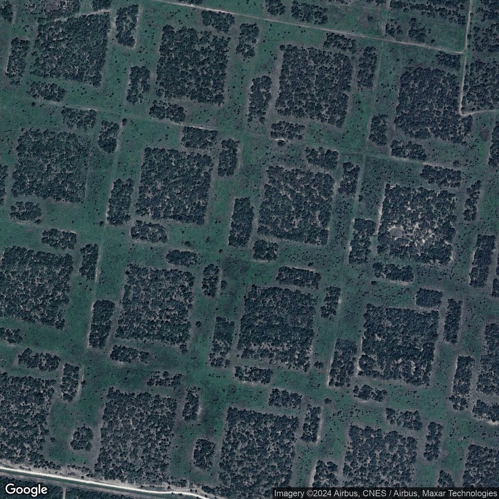
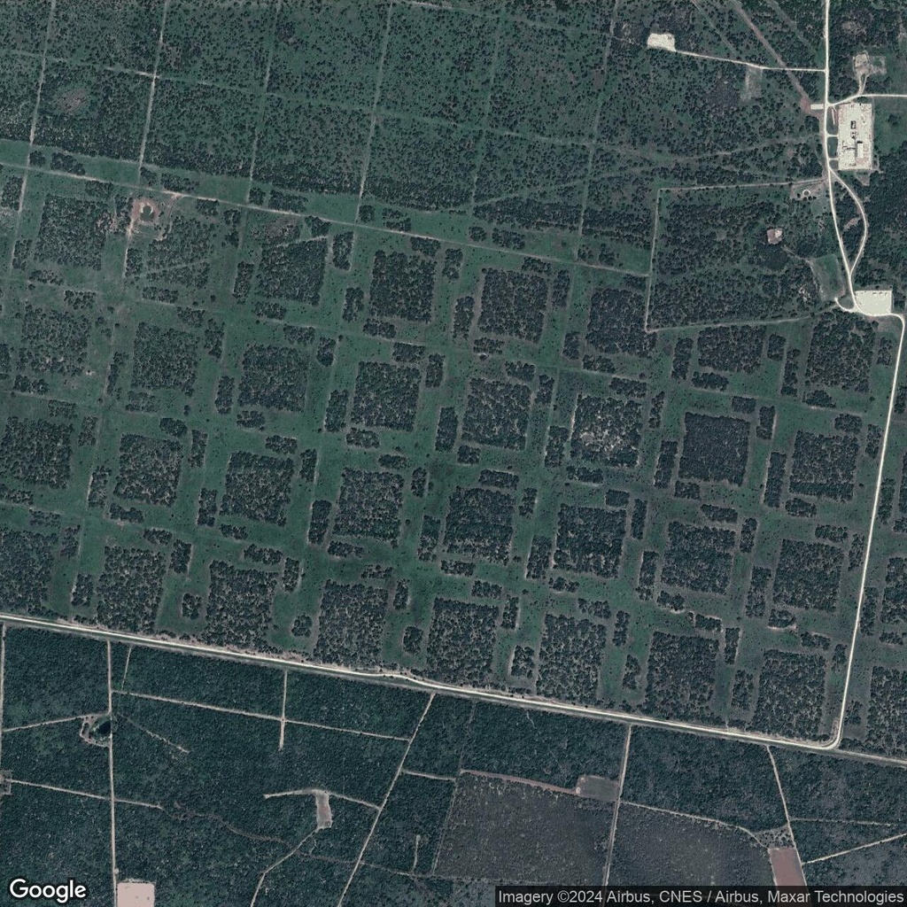
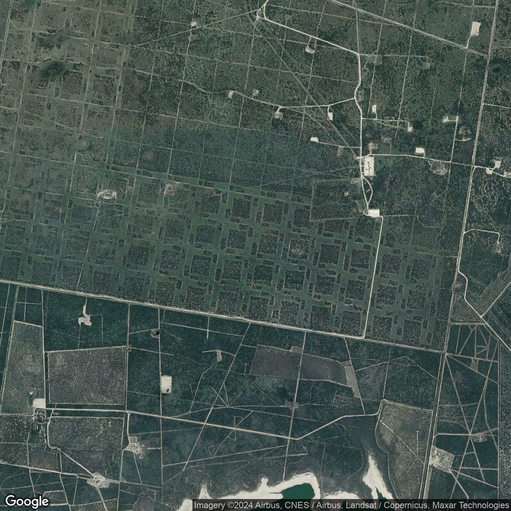
In the forests of Texas, satellite imagery reveals unusual geometric patterns carved into the tree cover. These orderly shapes stand out against the natural randomness of the surrounding forest, sparking curiosity and debate. What purpose do these patterns serve, and why were they created in this precise way?
A Sustainable Logging Practice?
One plausible explanation for these patterns is their connection to selective logging, a forestry technique designed to balance resource extraction with environmental preservation. Unlike clear-cutting, which removes all trees from an area, this method involves harvesting only a portion of the trees while leaving others intact.
Why This Approach?
- Wildlife Habitat: By leaving sections of the forest untouched, this method provides shelter and food sources for local wildlife, ensuring the ecosystem remains viable.
- Erosion Control: Maintaining a portion of the tree cover reduces soil erosion and helps stabilize the local environment.
- Sustainability: The staggered harvesting allows the forest to regenerate naturally, creating a renewable cycle of growth and logging.
While their exact purpose may vary, the weird forest patterns in Texas are a fascinating example of how human activity intersects with the natural world.


Comments:
No comments yet.