The Shipwreck Visible from Satellite Near Mexico
| Location: | Campeche Mexico |
|---|---|
| Coordinates: | Latitude, Longitude 20.2026449, -91.9767256 |
A Stranded Vessel on a Remote Islet
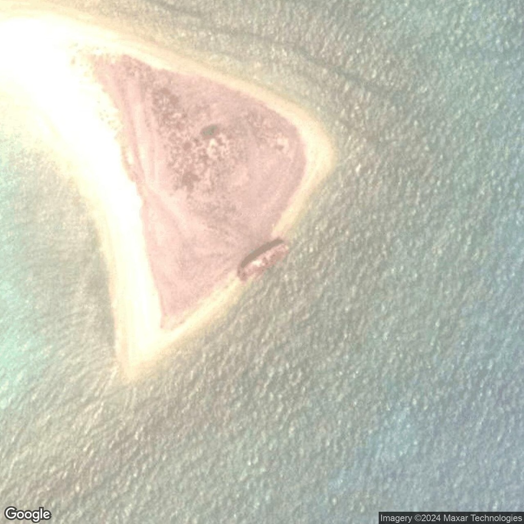
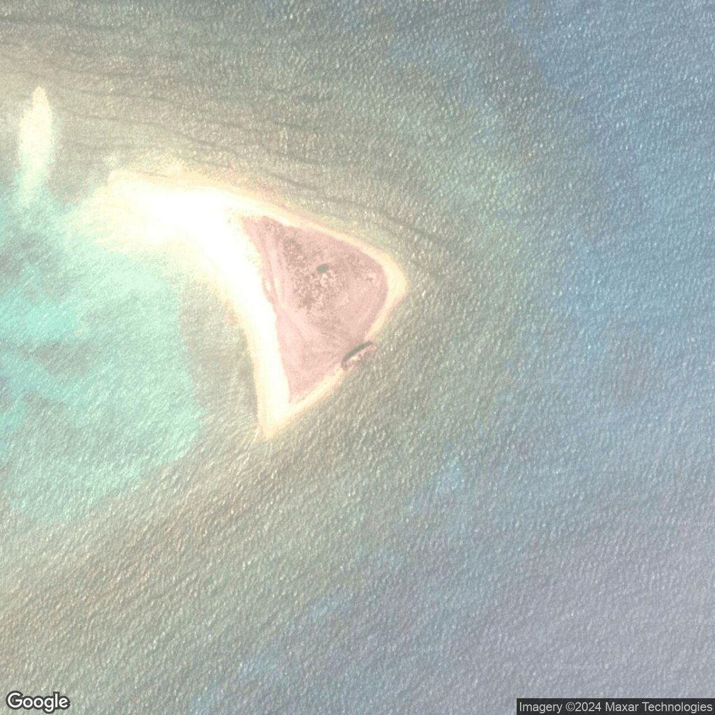
About 80 miles from the Mexico, near Cayo del Oeste, satellite imagery reveals a shipwreck clearly visible from above. The vessel lies beached on its side along the eastern coast of this triangular islet. The ship’s name and origin remain unknown, adding an element of intrigue to its presence in this remote area.
The Setting: Cayo del Oeste
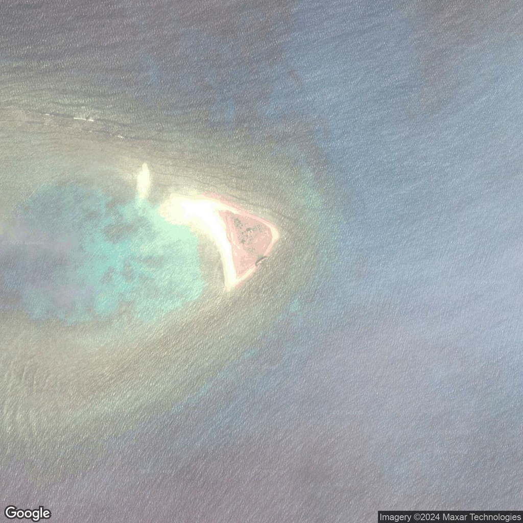
Cayo del Oeste, the smallest of the main islands in the region, is primarily a triangular islet with a spit of sand extending southwest from its eastern edge. The island is sparsely vegetated, surrounded by shallow coastal waters that might have contributed to the ship’s stranding.
The nearby presence of oil industry facilities has led to speculation about the ship’s purpose. The wreck may be a decommissioned or damaged oil tanker, given the region’s proximity to industrial operations. Shallow waters and sandbars around the islet could have caused the ship to run aground during a storm or mechanical failure.
A Digital Age Discovery
The shipwreck on Cayo del Oeste serves as a striking example of how satellite imagery can uncover hidden stories in remote corners of the world. While its exact history remains a mystery, the vessel’s location and condition make it a captivating find for digital explorers.


Comments:
No comments yet.