The Odd Intersections in Northwest Canada
| Location: | Dehcho Region, Northwest Territories Canada |
|---|---|
| Coordinates: | Latitude, Longitude 62.9155981, -123.5351053 |
Unusual Lines in the Wilderness
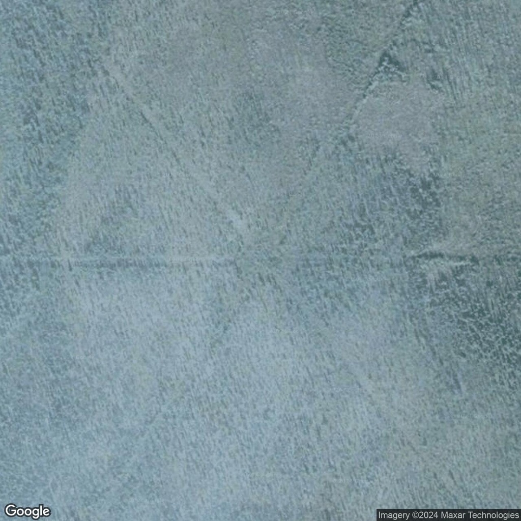
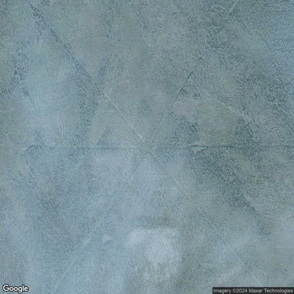
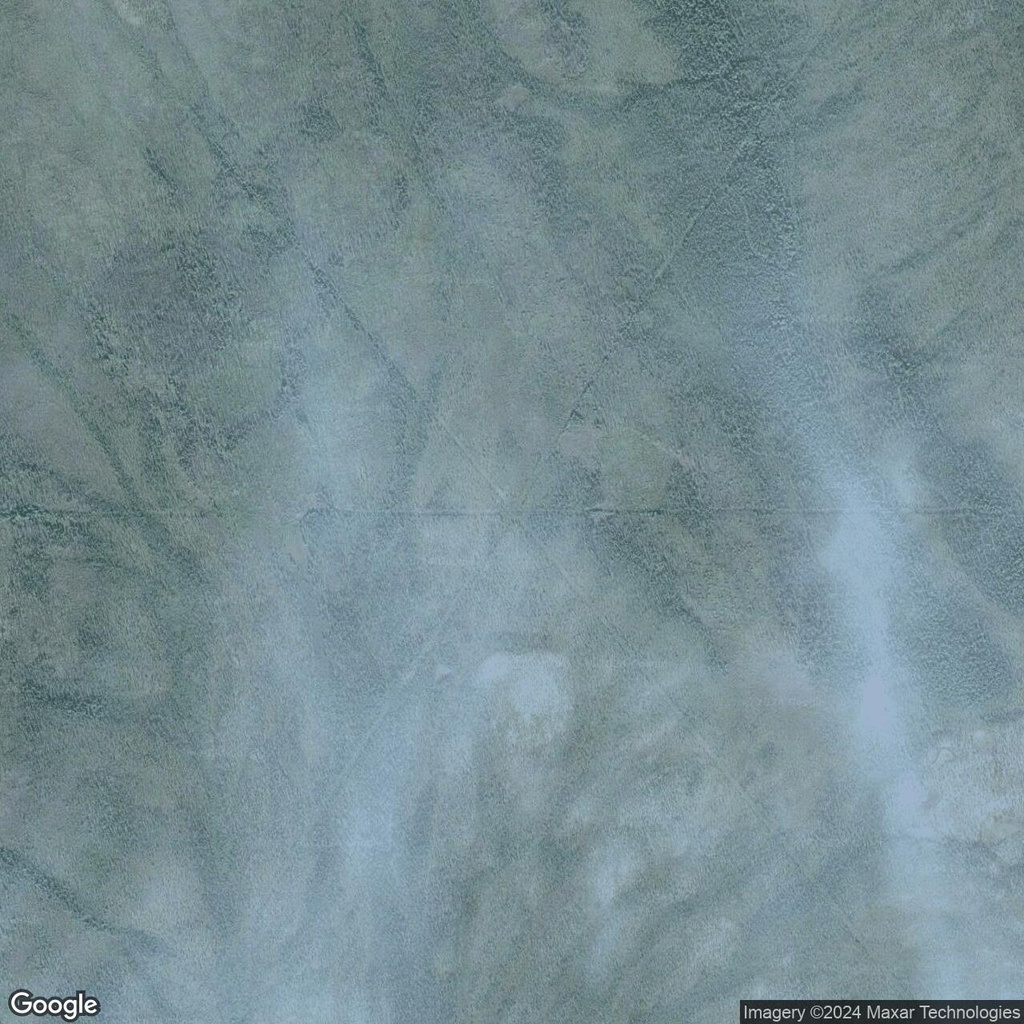
In the Northwest Territories of Canada, satellite imagery reveals a network of straight, intersecting lines cutting through the dense forest. These lines, some stretching 5 to 10 kilometers or more, appear too straight and deliberate to be natural. Yet, their purpose and origin remain unclear, adding an element of mystery to this remote region.
Several theories have been proposed to explain these intriguing intersections:
- Power Line Clearings: One plausible explanation is that these lines are power line corridors. Clearings for power lines are often wide and follow straight paths, though their precise function in such remote areas raises questions.
- Logging Trails: The lines could also be related to forestry operations, serving as access trails or cut lines for selective logging. The slight twists and bends observed in some areas align with the patterns of forestry activities.
- Oil or Gas Pipelines: The Northwest Territories are known for their resource extraction industries. These lines might mark pipeline routes, with their straightness designed for efficiency in transporting oil or gas.
Whether the result of power lines, logging, pipelines, or something entirely unexpected, the odd intersections in Northwest Canada highlight the interplay between human activity and the natural environment. They serve as a reminder of how much remains to be discovered—even in a world mapped by satellites.


Comments:
No comments yet.