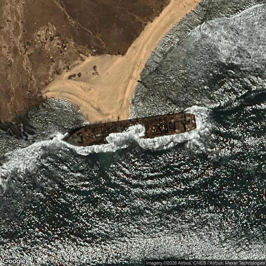
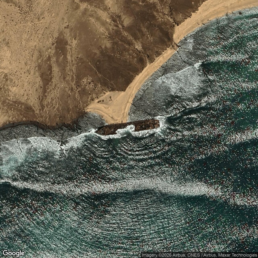
Breaking waves wash around the rust-coloured remains of Terry Tres on Santa Luzia’s southern coast. The cargo ship lies beside Praia Francisca, where a narrow strip of sand meets the island’s dry, rocky slopes.
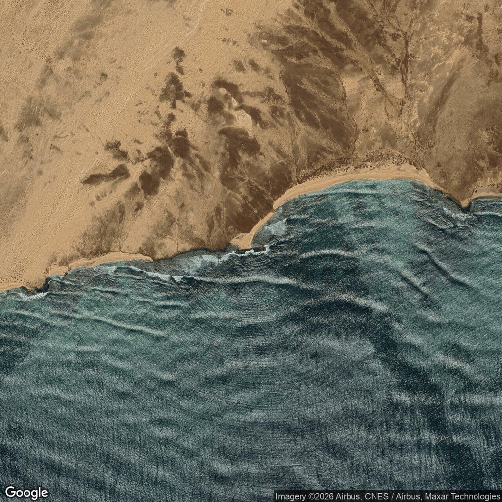
In the closest saved satellite image, the pointed bow and rectangular stern remain recognisable. A large opening interrupts the hull between them, allowing white water to pass through the wreck. The wider views place it against the surrounding shoreline.
What happened to Terry Tres?
The ship ran aground at Praia Francisca in October 2012. An environmental project record from Litoral Consult identifies it as the cargo vessel MV Terry Tres and gives its original length as 93 metres.
The consultancy prepared an assessment for the proposed salvage operation. Its work considered the surrounding marine and coastal environment, along with potential rock removal and dredging needed to provide enough depth for a recovery manoeuvre. Read the project record in Spanish, page 59.
That document records salvage planning, rather than establishing that the entire wreck was subsequently removed. The saved images on this page show substantial hull remains at the shoreline. They do not establish which parts were lost through wave damage or removed during later work.
For another island-side cargo wreck visible in satellite imagery, see the MV Primrose beside North Sentinel Island.
Comments:
No comments yet.