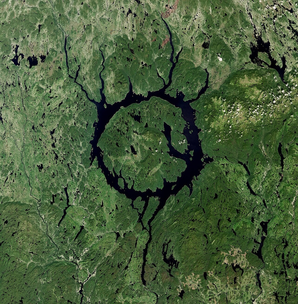
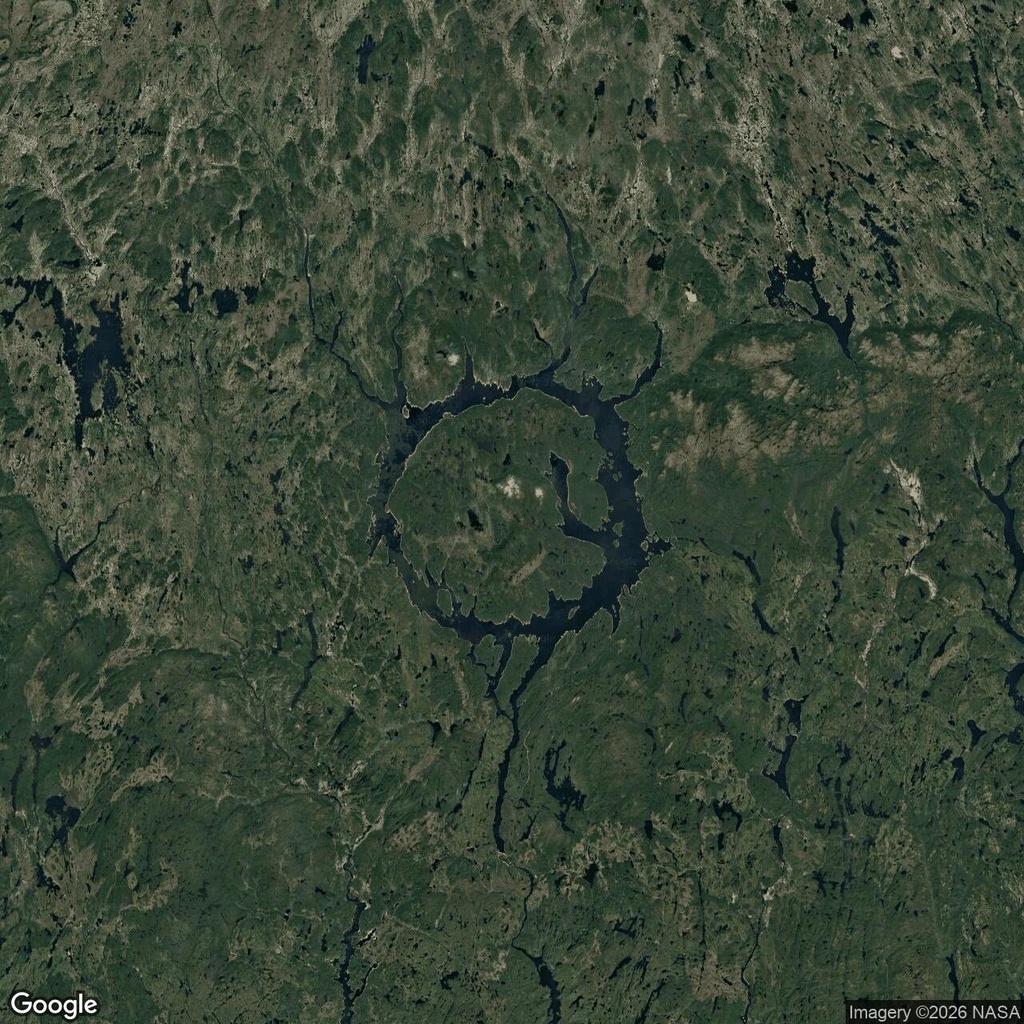
Among the scattered lakes of Quebec, one outline immediately stands out: a broad ring of water surrounding an enormous island. This is Manicouagan Reservoir, often called the Eye of Quebec, in eastern Canada.
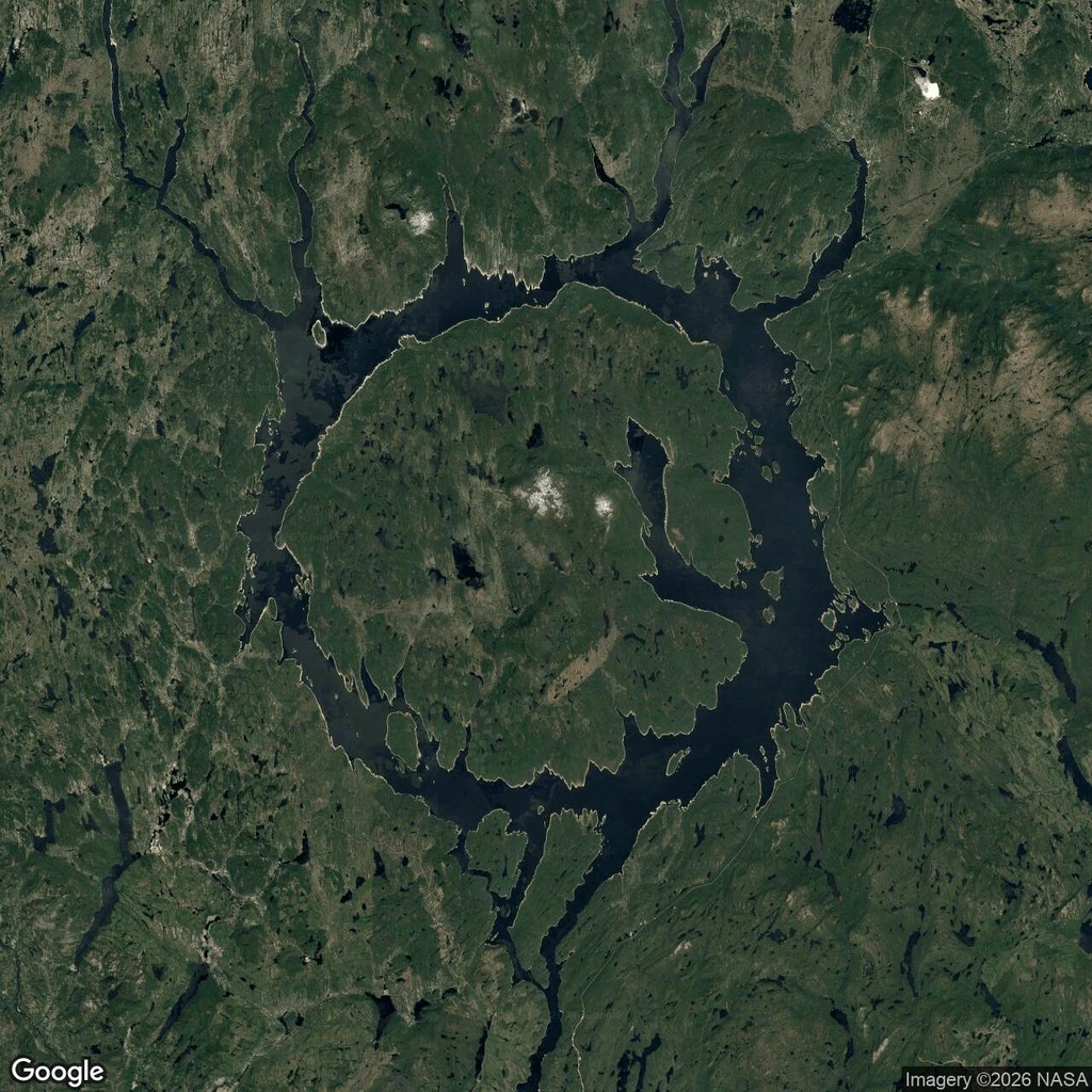
The satellite images show how unusual its shape is. Narrow arms of water branch into the surrounding landscape, but the main channel curves around René-Levasseur Island. Smaller islands and deeply indented shores interrupt the circle, giving it a rough outline rather than a perfect geometric edge.
Why does Manicouagan Reservoir form a ring?
The shape follows the remains of an asteroid impact crater formed about 214 million years ago. The impact lifted rock in the centre, while the surrounding depression eventually became the route followed by the ring of water. Erosion and successive ice sheets reshaped the landscape over millions of years.
The reservoir itself is much younger. Before the Daniel-Johnson Dam was completed in 1968, two crescent-shaped lakes occupied opposite sides of the impact structure. Rising water connected them, surrounded the central high ground and formed today’s reservoir. Filling was completed in 1977. NASA describes the crater and reservoir’s formation.
That history explains the combination visible from above: the curved outline follows an ancient geological structure, while the branching shorelines reflect water spreading into the surrounding valleys.
Comments:
No comments yet.