Johnston Atoll Mystery: Strange Structure in the Pacific
| Location: | Unincorporated territory of the United States Johnston Atoll |
|---|---|
| Coordinates: | Latitude, Longitude 16.7700411, -169.4622344 |
The Circular Enigma of Johnston Atoll: What Lies Beneath?
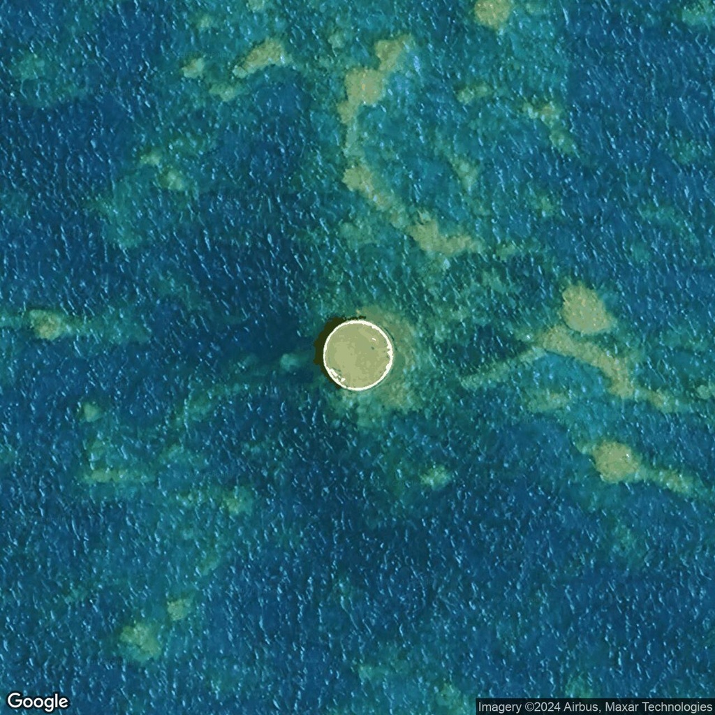
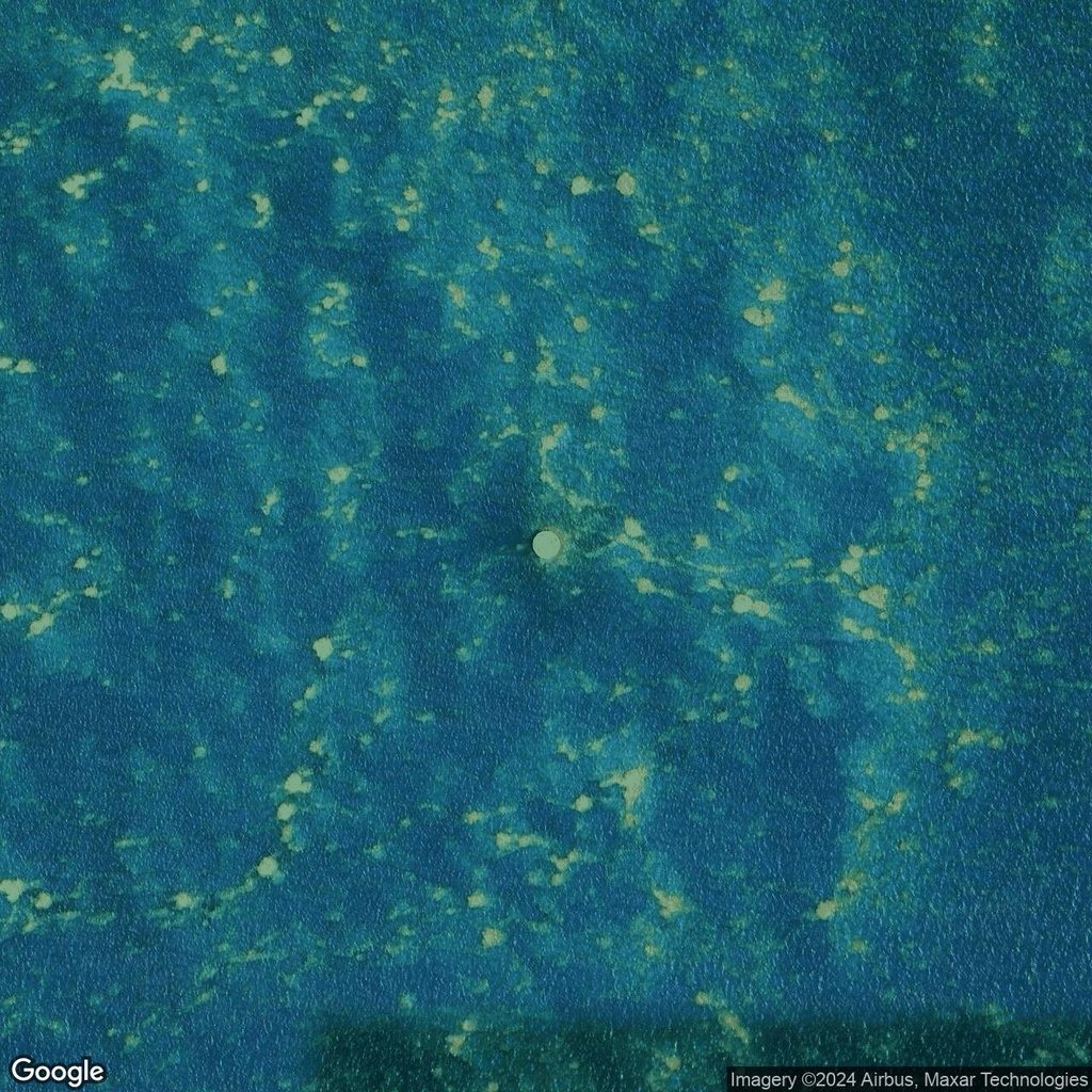
In the remote reaches of the Pacific Ocean, near the Johnston Atoll National Wildlife Refuge, lies a perfectly circular structure, 60 feet (18 meters) in diameter. Visible on satellite imagery, this enigmatic formation has sparked curiosity and countless theories.
The atoll, historically significant as a nuclear testing site and military installation, is no stranger to unusual and unexplained features. Could this circular structure be a remnant of its nuclear testing era, an experimental facility, or an overlooked part of the atoll's military infrastructure? Some speculate it might have been a foundation for equipment or a protective barrier, while others believe it could relate to environmental efforts following the atoll's decontamination.
With its desolate surroundings and eerie precision, this structure adds to the mystique of Johnston Atoll, a place where nature and history collide in dramatic fashion. Accessible only through Google Maps and historical records, it invites adventurers and historians alike to delve into its mysterious past.
Learn more about the fascinating history of this location on the Johnston Atoll Wikipedia page.

Comments:
No comments yet.