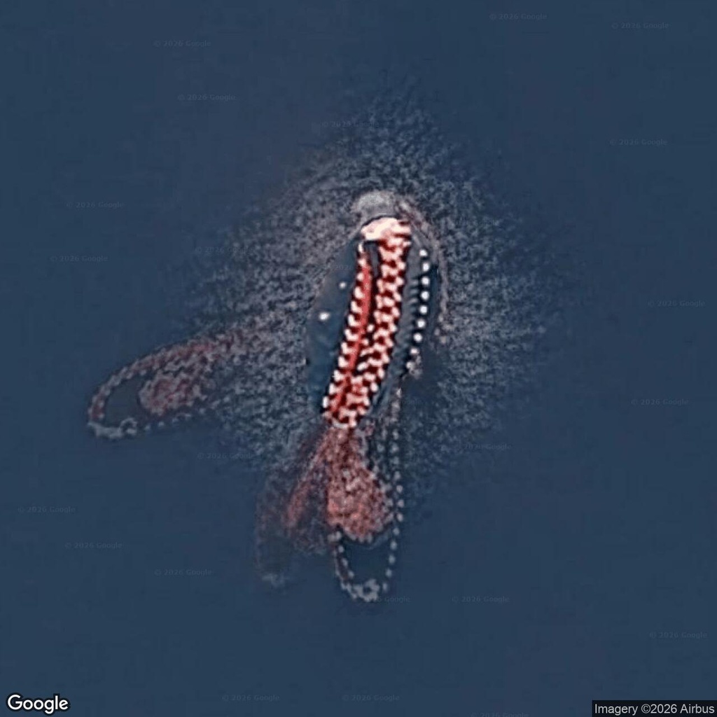
The pale dots are the first detail worth examining. They follow the edges of a reddish shape in surprisingly regular rows, curling into loops that resemble trailing tentacles. Between them, a long central section gives the impression of a body.
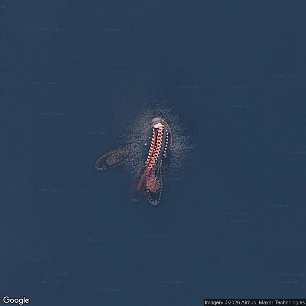
This strange shape appears in Google Maps imagery beside the Bangor naval waterfront in Washington State. It is easy to see a squid in the close-up, but the repeated elements suggest floating equipment. The screenshots provide no convincing evidence of an animal.
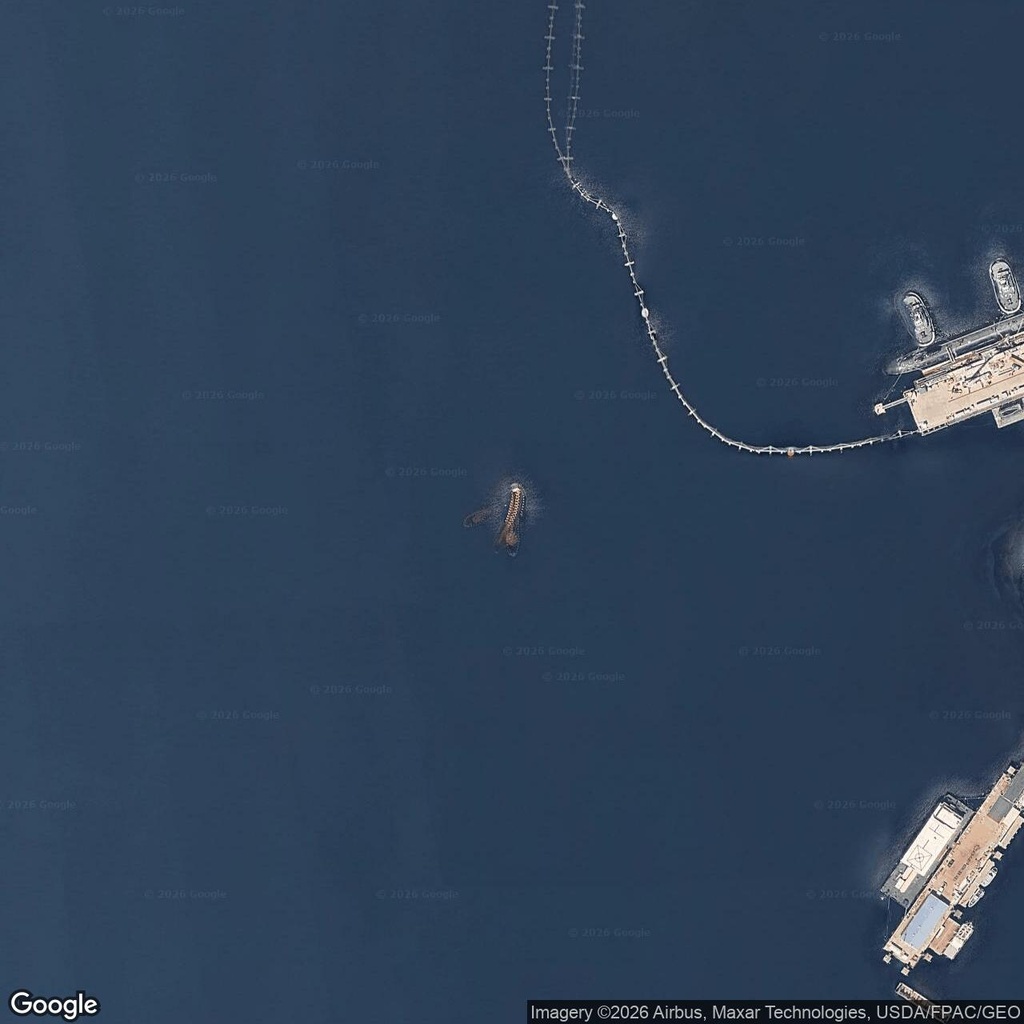
The wider view changes the scene considerably. Piers occupy the right side of the image, and a long floating barrier curves across the water nearby. The apparent creature sits within a landscape of working waterfront structures.
Floating barriers are documented here. The U.S. Coast Guard’s 2024 Light List records the Bangor South Floating Security Barrier, describing a Navy-maintained steel system marked by lights. That establishes useful local context, although it does not identify the separate reddish object.
Could image processing explain the tentacles?
Possibly. Google Maps combines imagery into a continuous view, and moving objects can appear distorted or partly transparent in the finished map. In Google’s explanation of unusual map images, its imagery specialist describes how layering can even make an ordinary operating ship appear submerged.
Here, the overlapping reddish sections and faint outer loops make an imagery artifact plausible. Floating lines or equipment could also account for part of the shape. Without the original image sequence or a clearer independent view, we cannot separate those possibilities confidently.
Look again at the “tentacles”: their evenly spaced pale elements are the strongest clue that this apparent sea creature has a more ordinary explanation.
Comments:
No comments yet.