Cool World Map on Klejtrup Lake, Denmark
| Location: | Hobro Denmark |
|---|---|
| Coordinates: | Latitude, Longitude 56.5905800, 9.6416310 |
A World Map Like No Other
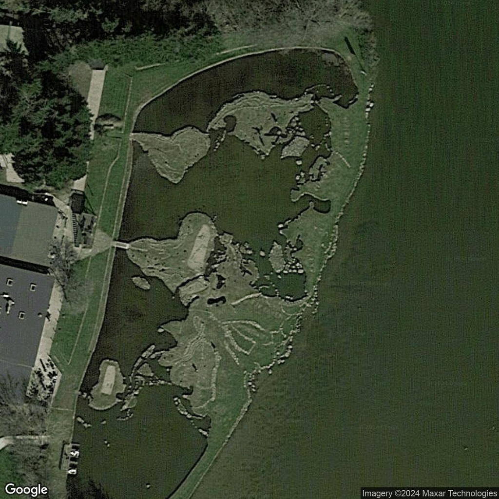
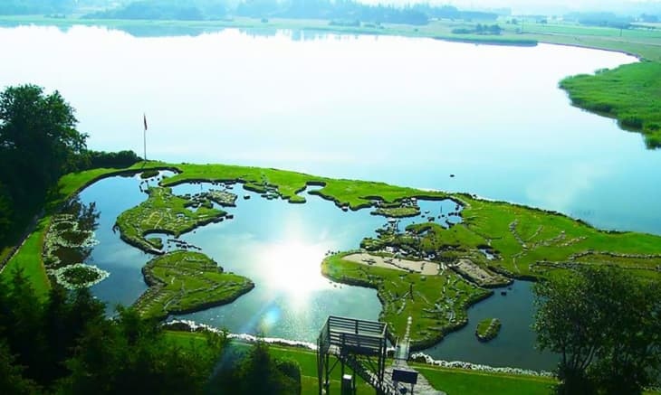
In the serene countryside of Denmark lies a remarkable and whimsical creation: a world map crafted on the surface of Klejtrup Lake. This intricate landscape is not a natural formation but the result of one man’s vision and dedication. Soren Poulsen, a local resident, constructed this extraordinary miniature representation of the world in the mid-20th century, turning a small portion of the lake into an artistic global showcase.
The Story Behind the Map
Soren Poulsen began this ambitious project in 1943 after discovering a rock in the lake that resembled the shape of Denmark. Inspired by this natural resemblance, he decided to recreate a scaled version of the entire world using stones, soil, and grass. Over the course of years, Poulsen painstakingly shaped the continents and major islands, ensuring they were geographically accurate in relation to each other.
A Unique Attraction
The World Map at Klejtrup Lake covers approximately 4,000 square meters and offers visitors the chance to "walk around the world" in minutes. It’s a popular attraction for families, geography enthusiasts, and curious travelers alike, blending art, education, and outdoor fun. Markers and labels help visitors identify countries and continents, making it both interactive and visually engaging.


Comments:
No comments yet.