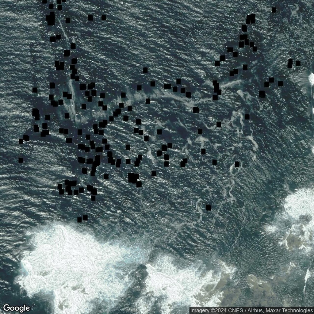
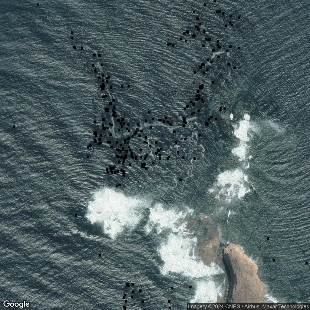
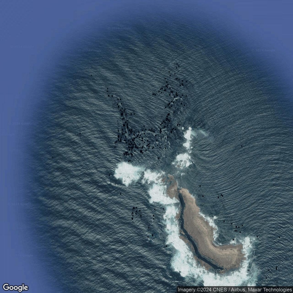
Blacked-Out Areas Near Ward Islands, South Australia
| Location: | Ward Islands Australia |
|---|---|
| Coordinates: | Latitude, Longitude -33.7348393, 134.2786977 |
Puzzling Blackout on the Map
Near the Ward Islands in South Australia, satellite imagery reveals a series of blacked-out areas that stand out against the surrounding ocean. These rectangular patches look like deliberate censor points, obscuring specific details of the region. The mystery deepens when considering their location: clustered over shallow shoals, areas known for rich marine biodiversity and ecological significance.
A Protected Wildlife Area?
The most plausible explanation for these blacked-out sections is their connection to a protected wildlife area. The shallow shoals around the Ward Islands may serve as nesting or nursery sites for seabirds, turtles, or other marine species. If so, the blackout could be an effort to safeguard these habitats from human interference. However, the censorship paradoxically draws attention to their existence rather than concealing them.
Regardless of their purpose, the blacked-out areas near Ward Islands spark intrigue. In an era of open satellite access, their presence highlights the tension between transparency and protection. Whether they serve to shield wildlife or obscure research activities, they inadvertently invite scrutiny from curious observers and digital explorers.


Comments:
No comments yet.